Welcome to ALTA Survey Mississippi

Your Final Stop for Your ALTA Survey Needs!                              Contact us today for a free quote!

This site is intended to provide you with information on ALTA Surveying in Mississippi. If you’re looking for a Mississippi Land Surveyor, you’ve come to the right place. If you’d rather talk to someone about your land surveying needs, please call our toll-free number at (888) 808-9783 today. For more information, please continue to read.

ALTA Survey Mississippi

Land Surveyors are professionals who make precise measurements to determine the size and boundaries of a piece of real estate.  While this is a simplistic definition, boundary surveying is one of the most common types of surveying related to home and land owners. If you fall into the following categories, please click on the appropriate link for more information on that subject:

ALTA Survey Mississippi services:

    1. I need to know where my property corners or property lines are. (Boundary Survey)
    2. I have a loan closing or re-finance coming up on my commercial property. (ALTA Survey)
    3. I need a map of my property with contour lines to show elevation differences for my architect or engineer. (Topo Survey – ALTA Survey plus Table A Item 5.)
    4. I’ve just been told I’m in a flood zone or I’ve been told I need an elevation certificate in order to obtain flood insurance or prove I don’t need it. (Flood Survey)
    5. I’m purchasing a lot/property for a commercial use. (ALTA Survey – Item 5 and/or Item 11b may also need to be discussed.)
    6. I’m purchasing a larger tract of land, acreage, that hasn’t been subdivided in the past. (Boundary Survey)
author avatar
Surveyor

More Posts

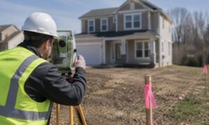
Survey stakes marking new property lines as surveying companies prepare land for division
land surveying
Surveyor

What Surveying Companies Check Before Land Is Split

You’ve got extra land. Maybe it sits behind your home. Maybe it came with a bigger parcel than you need. Now you’re thinking about splitting it. Sell one part, build on it, or give it to family. Sounds simple. Draw a line, right? Not even close. Before anything moves forward,

Read More »
Surveyor reviewing property documents on-site for an ALTA survey
alta survey
Surveyor

How a Title Commitment Shapes Your ALTA Survey

Buying property in Tupelo can move fast. You find a site, agree on terms, and start lining up the next steps. Then the documents start coming in. One of them is the title commitment, and most people just skim it and move on. That is where things start to go

Read More »
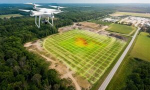
A drone capturing aerial data over a large property to support land surveying and site planning
land surveying
Surveyor

How DJI Drone News Is Affecting Land Surveying

If you’re planning to buy land or start a project, you probably aren’t thinking about drones. Most people don’t. Still, recent news around DJI drones in the U.S. is starting to raise questions inside the land surveying world, and those questions can affect real projects. Land surveying usually comes first.

Read More »
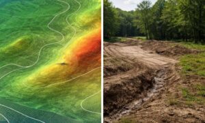
Side-by-side view of lidar mapping data and real terrain showing differences in elevation and ground detail
land surveying
Surveyor

Using LiDAR Mapping Data Without Costly Mistakes

Public LiDAR mapping data is easy to find. A few clicks, and you can see elevation, slopes, and contours for land in Tupelo. Most people come across lidar mapping data for land this way, and it feels like enough to start planning. It helps at first. You get a quick

Read More »
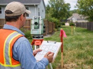
Surveyor performing land boundary verification on a residential property in Tupelo, MS to confirm property lines
boundary surveying
Surveyor

Why Land Boundary Verification Matters Before You Build

Buying or improving property often feels simple until questions about boundaries come up. Land boundary verification helps confirm exactly where your property begins and ends before decisions are made. In Tupelo, MS, where many properties include older layouts or unclear markers, this step can prevent problems that are easy to

Read More »