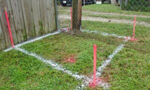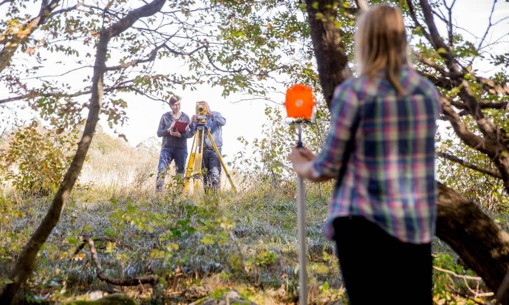
When it comes to building projects, accuracy starts long before the first truck arrives on-site. A construction staking survey is what turns a set of plans into real points on the ground — showing crews exactly where to dig, pour, and build. But here’s the challenge: in areas like Tupelo or Lee County, heavy tree cover and uneven clay soil can make that precision tough to achieve.
Working under hardwood canopy means GPS signals can bounce, fade, or even disappear. If you rely only on satellite positioning, you could end up a few inches off — and that’s enough to throw off a foundation or utility line. The secret to flawless staking isn’t fancy gear; it’s the method behind it.
Building Control That Holds Up in the Woods
The most successful staking jobs begin with a strong control network. Think of it as the skeleton that supports the rest of the survey. Before any staking happens, surveyors should set six control points: two in open sky, two in partial canopy, and two in heavy cover. This mix ensures that you can compare how your GPS performs in different environments.
In Northern Mississippi, the official coordinate system is MS State Plane East (NAD83 2011, US feet). Using it keeps your work consistent with state and city records. It’s also smart to choose control points that can be easily reoccupied later. Durable iron rods or capped rebar are ideal for clay-rich soil, which shifts with moisture.
Once those points are set, surveyors double-check their visibility. Two of them should be intervisible for total-station backsights, giving you a dependable baseline if GPS conditions get tricky. This extra planning step can save an entire day’s worth of rework later on.
Tying into Reliable Reference Points
Good control means nothing without solid ties. In Mississippi, surveyors have access to CORS — Continuously Operating Reference Stations — managed by MDOT and the National Geodetic Survey. These stations transmit data that helps correct GPS positions in real time. By linking your local control to two or three nearby CORS sites, you can lock in higher accuracy and reduce the risk of drift.
When working in a canopy, setup matters just as much as data. Use every satellite constellation available: GPS, GLONASS, Galileo, and BeiDou. Keep your elevation mask between 10 and 12 degrees and watch your PDOP value — it should stay below 2.5. Those settings help filter out weak or reflected signals.
And here’s a field trick: log your raw data at 1 Hz (once per second). It gives you dense, reliable data that can be post-processed later if real-time corrections fail. This backup step is simple but invaluable when you’re fighting tree cover.
Beat the Canopy by Collecting Twice
Canopy doesn’t just block signals — it can create false confidence. Sometimes the GPS says “fixed,” but the results drift by the minute. To counter that, surveyors often occupy each control station twice, at least 15 minutes apart. This change in satellite geometry helps you detect hidden bias.
On two of those points, collect static data for at least 15 minutes. Later, you can run a post-processed kinematic (PPK) check. It’s like proofreading your coordinates. The second pass confirms that your “fixed” solutions are genuinely reliable.
That extra step may sound tedious, but it can make the difference between a slab that fits perfectly and one that needs to be cut and patched later. And on a busy construction site, that’s real money saved.
Adjusting Data for Confidence

Once the fieldwork is done, the data goes through adjustment software like Trimble Business Center or Carlson Survey. This is where numbers become truth. By running a least-squares adjustment, you identify small errors and eliminate outliers.
Surveyors typically reject points that fall more than two standard deviations from the mean (that’s engineer-speak for “too far off”). After adjustment, the software produces a loop misclosure report. A good network should close within a few hundredths of a foot.
The key here is transparency. A professional construction staking survey isn’t just about getting numbers — it’s about showing how solid those numbers are. Every report should list residuals, semi-major axis errors, and the geoid model used (for example, GEOID18). That kind of documentation helps contractors trust the layout before they pour concrete.
When GPS Goes Rogue
Even with the best setup, interference can happen. The recent GPS spoofing incidents affecting aircraft overseas remind us that no signal system is perfect. If your receiver starts jumping between “fixed” and “float,” or residuals spike without reason, stop staking immediately.
In those cases, fall back on conventional gear. Run a short total-station traverse closure through your control points, then compare coordinates. If results disagree by more than your threshold, reshoot. crews often keep this as a standing rule — it’s quicker to double-check now than to fix a blown elevation later.
This mindset isn’t about mistrusting technology; it’s about staying field-smart. GPS is powerful, but the total station still wins when trees and interference gang up on you.
Deliverables That Keep Contractors Moving
A flawless staking survey doesn’t stop with data collection. Contractors rely on clean, usable deliverables. The best survey packages include:
- A control report with station coordinates, residuals, and accuracy notes.
- A localization file ready for machine-control systems.
- A stakeout list showing point IDs, offsets, and comments about canopy or line-of-sight issues.
Adding field photos helps too — a quick shot of each stake in context can clear up confusion later. Remember, the clearer your deliverables, the fewer callback questions you’ll get when crews start setting forms or utilities.
Don’t Forget Elevation and Flood Risk
Northern Mississippi projects often overlap with flood-prone areas. Before final staking, overlay your control points on FEMA’s National Flood Hazard Layer (NFHL). It takes minutes to confirm whether your site falls within a flood zone.
Small errors in elevation can trigger big headaches for builders and lenders. Getting this right from the start keeps everyone out of trouble when it’s time for permits or inspections.
A Local Example
Last spring, a contractor near Tupelo needed staking for a small commercial pad tucked under 60 percent tree cover. The first GPS pass looked “fixed,” but control checks revealed a 0.07-foot misclosure. By setting up a 6-point control loop and running dual occupations, the team tightened that error to 0.02 feet — well within tolerance.
The payoff? Crews could lay out footings, curbs, and utilities without a single adjustment. That’s how good planning turns into smooth construction.
Conclusion
A construction staking survey under tree cover isn’t about luck or expensive gadgets. It’s about discipline, redundancy, and local know-how. Mississippi’s terrain demands both technology and technique — and when they work together, the results are rock solid.
If you’re planning site work, make control your first priority. Set it right, verify it twice, and your staking will stand up — no matter how thick the trees get.
