How DJI Drone News Is Affecting Land Surveying

If you’re planning to buy land or start a project, you probably aren’t thinking about drones. Most people don’t. Still, recent news around DJI drones in the U.S. is starting to raise questions inside the land surveying world, and those questions can affect real projects. Land surveying usually comes first. Before design, before permits, before […]
Why Land Boundary Verification Matters Before You Build
Buying or improving property often feels simple until questions about boundaries come up. Land boundary verification helps confirm exactly where your property begins and ends before decisions are made. In Tupelo, MS, where many properties include older layouts or unclear markers, this step can prevent problems that are easy to miss at first. Why Land […]
How Drone Land Surveying Speeds Up Property Mapping
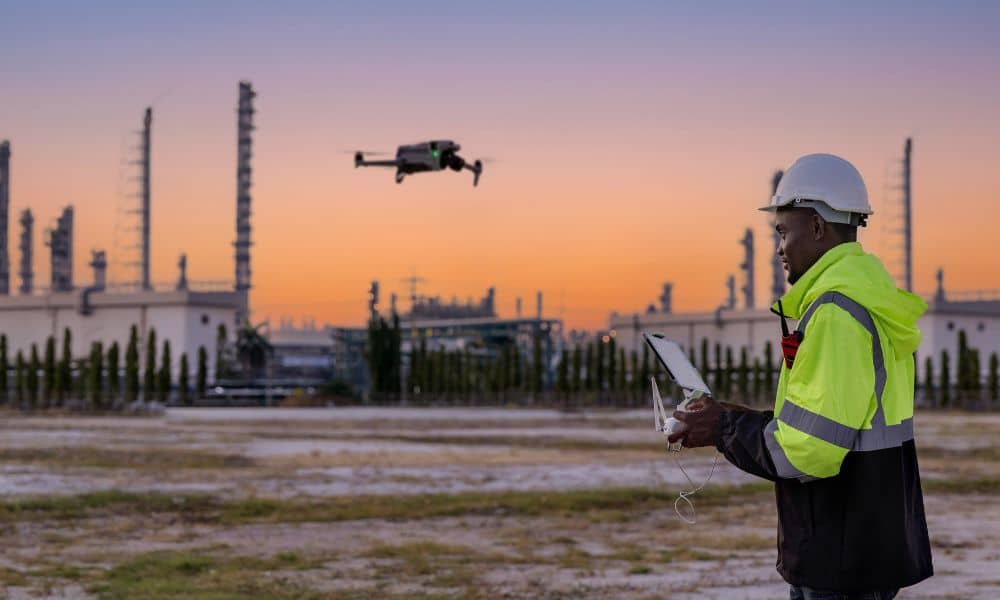
Land surveying plays an important role in property development and construction. It also helps define land ownership. Surveyors measure land so people know where boundaries and features are located. In the past, this work took a long time. Survey crews walked across large areas of land. They measured points one by one and recorded the […]