When you hear the rumble of heavy equipment down the street, chances are a construction survey has already taken place. In Tupelo, every major road upgrade, gas line replacement, or utility improvement begins with surveyors taking points and mapping out the work. Without this step, crews would be guessing where to dig, where to pour asphalt, and how to keep new roads aligned with old ones.
This might sound technical, but it’s actually about keeping everyday life safe, organized, and efficient. From spray-painted marks on the pavement to flags in your yard, these signs tell the story of how surveying guides the projects that shape our city.
Tupelo’s Growing Need for Precision
Tupelo has been seeing more infrastructure improvements in recent years. Local agencies are working hard to keep up with growth, repair older systems, and modernize gas lines. Atmos Energy, which serves much of Mississippi, has launched a modernization program. That means you may notice temporary crews working near neighborhoods, replacing pipes or prepping road sections.
Before any of that happens, surveyors step in. They confirm the exact right-of-way boundaries, measure elevations, and mark where construction should start and stop. This process doesn’t just help contractors. It protects homeowners from having public projects spill over into private property.
What Exactly Is a Construction Survey?
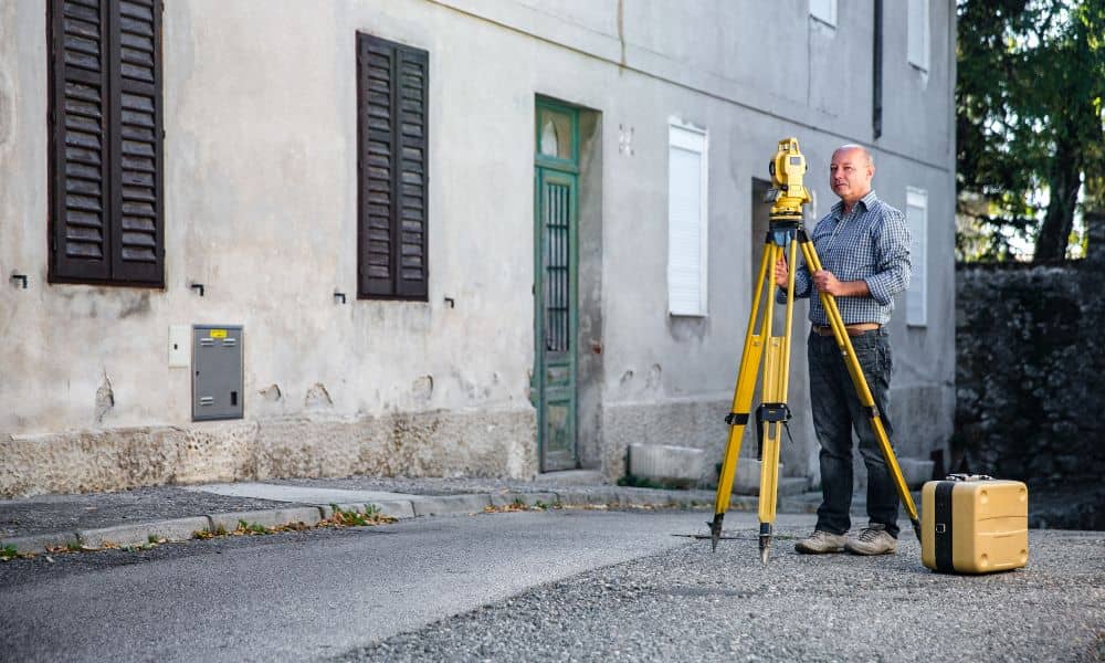
A construction survey is the foundation of every project in the field. Surveyors translate design plans into physical markers on the ground. Imagine an architect’s drawing of a road. It looks neat on paper, but out in varied terrain, someone has to decide where the lines, curves, and slopes actually go.
That’s what surveyors do. They stake points to guide bulldozers, graders, and paving crews. They measure distances so that curbs, drainage ditches, and sidewalks all land where they should. In short, the construction survey is the invisible backbone that keeps a project accurate.
Drones, LiDAR, and the New Era of Surveying
Surveying isn’t just tripods and tape anymore. This past week, MIT News highlighted how Gas Mapping LiDAR is helping utilities detect methane leaks from the air. Drones equipped with sensors can fly over streets, scanning for invisible gas escaping underground. Utility Dive also reported on how artificial intelligence is being added to these systems, making them even faster and more precise.
So what does that have to do with Tupelo? When companies like Atmos Energy replace gas lines, they need to know exactly where those lines run. Drones and LiDAR give them a clear picture, but the results still need ground control — and that’s where surveyors come in. The construction survey ties the aerial data back to real-world points. That way, when a crew digs on Gloster Street or overlays asphalt near Barnes Crossing, they know they’re in the right place.
Why Homeowners Notice the Signs
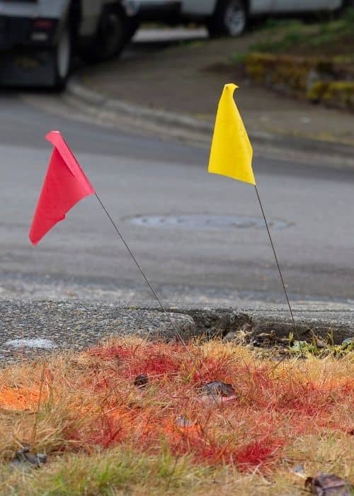
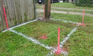
If you’ve ever walked outside and seen orange or blue paint sprayed across your driveway, you’ve seen survey work in action. Those marks often show where underground utilities are located. Wooden stakes with colored ribbons might appear near your yard, sometimes a few feet away from the actual property line. That confuses a lot of people, but there’s a reason.
Surveyors often use offset stakes. Instead of hammering a stake right on a line that may get dug up, they place it to the side and note the measurement. It saves time and prevents constant re-setting. The marks are not random; they’re carefully placed to guide the next steps of construction.
For homeowners, the best approach is to leave those stakes and flags alone. They’re part of a chain of accuracy that keeps your yard safe and ensures contractors don’t accidentally cut into the wrong spot.
Keeping Projects on Time and Safer
Construction delays are expensive. Imagine paving a stretch of Main Street, only to realize the new curb doesn’t align with the existing one. Without surveys, mistakes like that would happen all the time. With surveys, contractors have a reliable blueprint on the ground.
Safety is another big reason. Gas lines, water pipes, and fiber cables run below streets. Digging without clear survey data could hit those utilities. The results could be costly or even dangerous. By mapping out exactly where underground lines sit, surveyors help prevent accidents. When combined with LiDAR scans and drone imagery, those safety margins get even stronger.
What This Means for Developers and Residents
For developers, construction surveys are non-negotiable. If you’re planning a new commercial site, subdivision, or even a smaller project, surveys ensure compliance with codes and regulations. They also make the approval process smoother, since inspectors rely on the survey to confirm that work matches the approved plans.
For residents, surveys explain why your street might be marked up or why crews are measuring near your property. These projects, while sometimes inconvenient, are built on survey work designed to keep improvements within bounds and protect what’s yours.
The Bigger Picture: From Sky to Street
The future of construction surveys blends traditional expertise with advanced tech. Drones capture wide views, LiDAR scans reveal hidden risks, and licensed surveyors tie it all together with boots on the ground. In Tupelo, that mix is what makes road upgrades smoother, safer, and more reliable.
Next time you see fresh paint on the asphalt or flags fluttering in your yard, you’ll know it’s not random. It’s the first step toward a safer road, a stronger utility line, or a smoother drive through town.
Conclusion
Every road upgrade starts with a construction survey, and for good reason. It lays out the path, prevents mistakes, and protects both public and private property. With modern tools like drones and LiDAR now joining the process, surveying is faster and more accurate than ever.
If you’re a homeowner, developer, or contractor, don’t skip this critical step. A well-done construction survey is the difference between a project that struggles and one that runs smoothly from day one.
