Survey drones are changing how Tupelo looks at land. For years, local surveyors and developers have used these small flying tools to capture aerial data, map flood zones, and inspect big properties. Now, with the FAA’s new Part 108 proposal, these drones could soon fly farther and work faster than ever. The rule—focused on Beyond Visual Line of Sight (BVLOS) flights—closed for public comment on October 6, 2025, and it’s already sparking big talk in Mississippi’s construction and land-surveying world.
What Part 108 Means for Tupelo
Part 108 is the FAA’s plan to make long-distance drone flights normal. In the past, surveyors needed special permission to fly their drones beyond what the pilot could see. With this rule, BVLOS operations could become routine. One licensed pilot could manage miles of aerial mapping without needing spotters along the way.
For clients, that means faster surveys, lower field costs, and fewer delays. One well-planned drone flight could mark boundary lines, check flood elevations, and gather data for ALTA/NSPS Land Title Surveys—all before a traditional crew even sets up their tripod.
Why It Matters for Local Projects
Tupelo and nearby Lee County are growing fast. Developers are building industrial parks, widening roads, and planning new neighborhoods. Survey drones already play a key role in projects like:
- The U.S. 45 corridor expansion, where aerial mapping keeps new lanes aligned with existing utilities.
- Town Creek flood-control improvements, where drones safely record levee grades after storms.
- The Toyota/Blue Springs logistics area, where weekly aerial updates help with drainage and construction staking.
If Part 108 becomes law, these uses will become everyday practice. Fewer on-site staff means smaller teams, faster work, and quicker reports for clients who depend on precise land data.
The DJI Dilemma
Not everything about the rule is smooth flying. While the FAA is opening skies for BVLOS operations, the U.S. government is also limiting some foreign-made drones. By the end of 2025, many DJI drones—the most popular brand—may be restricted for public projects. Mississippi agencies already face rules that favor U.S.-made equipment.
That’s tough for small survey firms. DJI drones are affordable and reliable, so many businesses depend on them. If these models are phased out, surveyors might need to invest in American-made drones or keep two fleets: one for private jobs and one for public work. Companies should plan now to avoid losing time later.
Opportunities in the Change
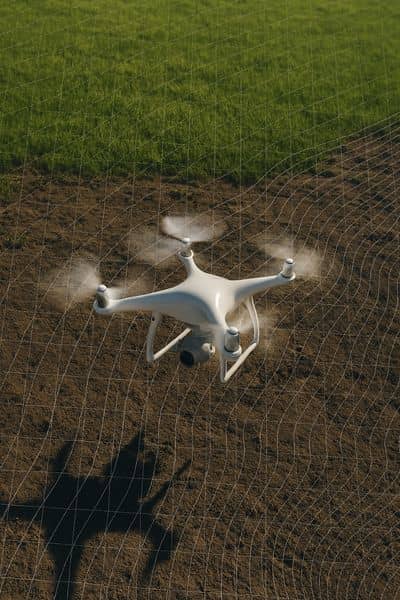
Even with these challenges, Part 108 opens new doors. Once BVLOS flights are approved, survey drones will do much more than snap photos. They can:
- Map long corridors for highways and pipelines in a single flight.
- Gather flood-risk data quickly to help engineers design better drainage.
- Track earthwork progress so contractors know how much dirt has moved each day.
For builders, that means quicker updates and fewer delays. For lenders and title companies, it means clearer land records before closing a deal. And for property owners, it reduces costly surprises—because aerial data reveals problems early.
Challenges to Keep in Mind
Every new rule brings growing pains. Insurance policies will need updates to cover BVLOS flights. Survey companies must write new safety plans that include detect-and-avoid systems and backup communication methods. Air traffic near Tupelo Regional Airport may also need better coordination as more drones take off.
Data size is another issue. BVLOS flights collect massive files—photos, lidar scans, and elevation grids. Surveyors will need strong internet connections and secure cloud storage to manage and share this information with engineers and clients.
How Surveyors Can Get Ready
Smart survey teams are preparing now. Many are testing BVLOS-style procedures on smaller jobs. A few simple steps can make a big difference:
- Upgrade equipment: Make sure your survey drones meet FAA and U.S.-made standards.
- Train crews: Everyone should know how detect-and-avoid systems work.
- Review insurance: Check that BVLOS operations are covered in your policy.
- Improve workflow: Plan flights so one long mission replaces several short ones.
These steps don’t just protect survey firms—they help clients get projects done faster and with less risk.
What Clients Should Expect
If you’re a developer, engineer, or lender, your next survey may look different. Instead of waiting days for field updates, you could get drone maps within hours. Land title surveys will include detailed aerial images showing fences, utilities, and easements. Construction staking will rely on drone-generated surfaces instead of ground-only points.
This isn’t cutting corners—it’s improving accuracy. Survey drones with RTK GPS and high-resolution cameras can measure within a few centimeters. That’s precise enough for boundary checks, grading, and site design.
Mississippi’s Extra Rule
Mississippi’s own drone policy adds another twist. State-funded projects may soon allow only U.S.-made drones, even for subcontractors. That means local firms must confirm their equipment before bidding. For developers working with private surveyors, it’s smart to ask if their drones already meet those standards. A compliant setup can save weeks of approval time.
The Road Ahead
The FAA’s final decision on Part 108 is expected in early 2026. Whether it’s a full rollout or a slow start, the surveying industry is about to evolve. Teams that adapt early will enjoy faster schedules, safer operations, and better data quality.
For landowners, builders, and lenders, this is great news. When survey drones can fly farther, capture more, and deliver results faster, every part of the development process improves. Tupelo’s next big project might not just be built from the ground up—it’ll be mapped from the sky.
