Why Property Survey Cost Can Change After Heavy Rain
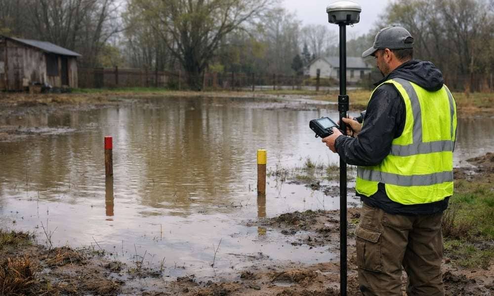
Heavy rain can make property surveys cost more money in Mississippi and across the Gulf Coast. When water fills the soil, hides survey markers, and creates new water flow patterns, surveyors have to change how they work and how long the job takes. This means your survey costs more than you expected. Understanding why this […]
Mortgage Survey vs. Boundary Survey: Which One Do You Actually Need?
When you hear the phrase mortgage survey vs. boundary survey, it is easy to assume they mean the same thing. Both involve a licensed surveyor. Both produce a drawing of your property. But they serve different legal purposes, and mixing them up can cause real problems at the bank or in court. What Is a […]
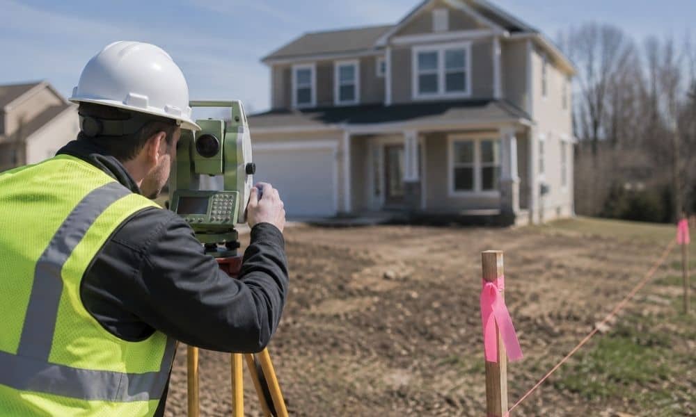
What Surveying Companies Check Before Land Is Split
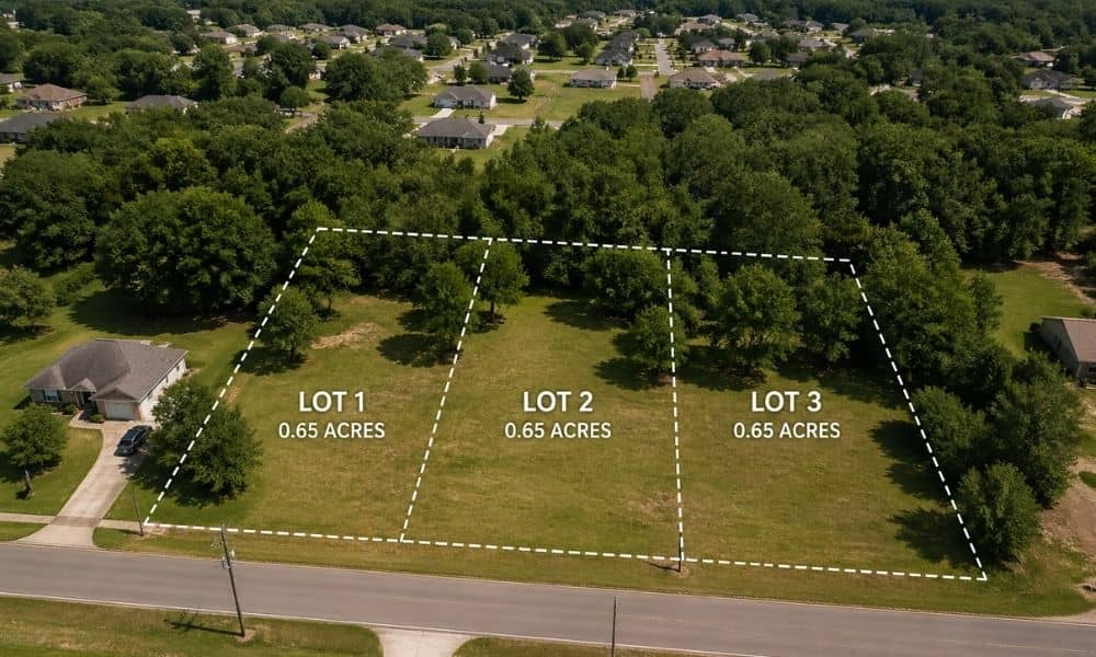
You’ve got extra land. Maybe it sits behind your home. Maybe it came with a bigger parcel than you need. Now you’re thinking about splitting it. Sell one part, build on it, or give it to family. Sounds simple. Draw a line, right? Not even close. Before anything moves forward, surveying companies go through a […]