How Workforce Funding Impacts the Construction Surveyor
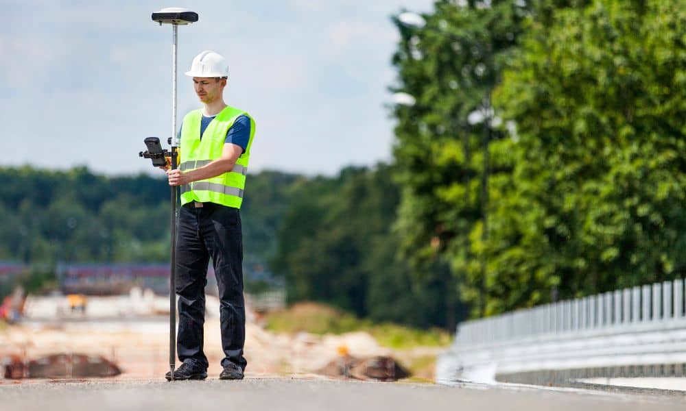
Mississippi recently approved a new workforce fund to support construction training programs across the state. At first, this may sound like policy news that only affects schools. However, the impact reaches much further. In fact, this investment could shape the future of every construction surveyor working in Mississippi — especially in growing cities like Tupelo. […]
Boundary Survey Cost: What You’re Not Seeing
If you’ve looked into getting a boundary survey lately, you probably noticed something. Prices seem higher than they were a few years ago. In fact, many property owners across the country have taken to social media asking the same question: Why does a boundary survey cost this much in 2026? At first glance, it may […]
When Do You Need a FEMA Elevation Certificate?
If you’re buying, refinancing, building, or improving a property, you might suddenly hear this sentence: “We need a FEMA elevation certificate.” Most owners don’t expect it. As a result, confusion starts fast. Is it a survey? Is it about flood maps? Is it required for every property? What a FEMA Elevation Certificate Really Is Start […]