The City of Tupelo recently announced a road-condition survey to figure out which neighborhoods will get their streets fixed first. It’s part of a plan to repair potholes, replace damaged pavement, and improve drainage all over the city. Most people are happy about it, but few realize that private surveys—especially a boundary line survey can actually help the process move faster.
Knowing exactly where your property ends and where the public space begins doesn’t just protect your land. It also helps the city avoid delays, arguments, and expensive mistakes once roadwork starts.
Tupelo’s “Street X-Ray” and What It Means
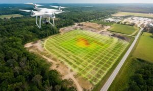
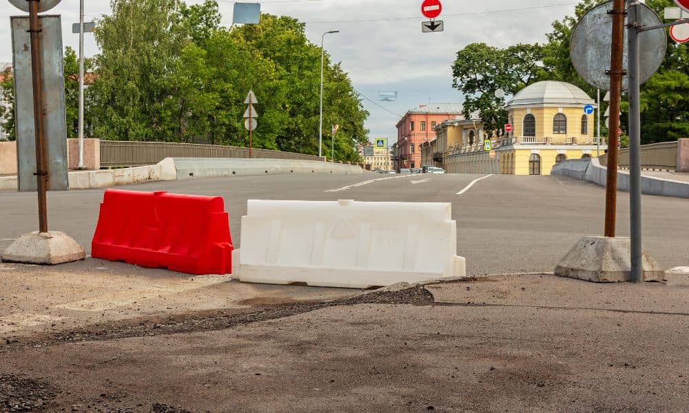
When city engineers talk about a road-condition survey, they mean a full checkup of the roads. It’s like giving every street in Tupelo an X-ray. Crews look for cracks, potholes, and worn-out spots. They also test how strong the pavement is and how well water drains off it.
The city uses this information to decide which roads to repair first. But that survey stops at the public right-of-way—the space the city owns. Many problems, though, start right at that edge.
That’s where a boundary line survey matters. It helps homeowners and city crews know exactly where the city’s work ends and where private property begins. That knowledge can prevent trouble before construction starts.
How Boundary Surveys Help with Street Repairs
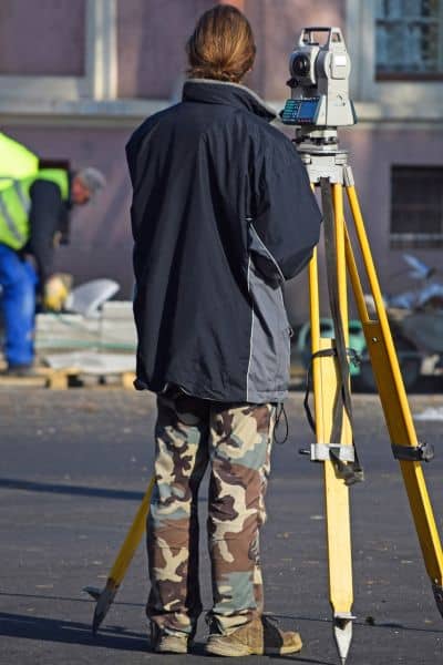
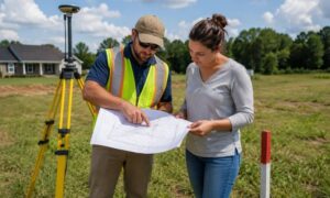
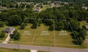
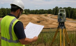
A boundary line survey marks the legal limits of your property. Surveyors use old plats, deeds, and on-site tools to measure everything. They mark corners, fences, driveways, and anything close to the street.
In older Tupelo neighborhoods like Joyner and Wildwood, property lines can get blurred over time. Fences and sidewalks might not match the real lot lines anymore. When the city sends road crews to fix a curb or replace pavement, those unclear boundaries can cause confusion.
Imagine a worker cutting into a curb and a homeowner insists that part of it is on their property. Without a boundary survey, work stops until the issue is settled. That one argument can delay the whole street. If everyone’s lines were clear, repairs could move forward without problems.
Preventing Delays and Costly Mistakes
A boundary line survey helps keep projects running smoothly. Here’s why it matters:
- Prevents disputes: Everyone knows where the property ends and public work begins.
- Protect your yard and driveway: Survey markers show where private features are, so crews avoid damaging them.
- Saves time for utility work: Survey data helps locate irrigation pipes, sprinklers, and underground wires.
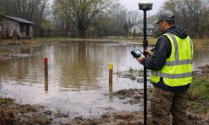
- Improves drainage: It shows how water moves across the property and helps avoid flooding after repairs.
When boundaries are clear, city engineers can plan better. They can set curbs, adjust slopes, and fix drainage faster—without stopping to double-check property lines.
Older Areas, Hidden Markers, and Boundary Confusion
Many neighborhoods were built long ago, before modern GPS tools. Over the years, survey markers—those metal pins or small concrete posts—can get buried or moved. In older areas like Mill Village and Downtown Tupelo, even small shifts can cause confusion.
If a marker is off by a few inches, it might look like a driveway overlaps the road. Crews might skip that section to avoid complaints, leaving an uneven finish. If a boundary line survey is up to date, that problem disappears. Workers know the limits, finish the job faster, and avoid upsetting homeowners.
What Homeowners Can Do
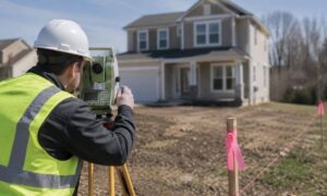
If you’ve seen orange flags or new survey markers on your street, now is a good time to act. Contact a licensed land surveyor to check your boundaries before construction begins.
Doing so gives you peace of mind and a few extra benefits:
- Clear lines: You’ll know exactly what’s yours.
- Smooth coordination: If you plan to fix your driveway or fence, you can match your work with the city’s repairs.
- Future protection: You’ll have a record to use for future projects or property sales.
Even small updates—like replacing a sidewalk or adding a fence—benefit from clear boundaries. When your property lines are confirmed, you can make improvements confidently.
Why Builders and Contractors Benefit Too
Contractors and developers also gain from accurate boundary line surveys. When every lot is clearly marked, it’s easier to plan new curbs, driveways, and sidewalks that follow city standards. Surveys also reveal utility easements, so crews don’t hit pipes or cables by accident.
For larger projects, combining the city’s road data with boundary surveys makes construction staking more accurate. That saves time, cuts costs, and keeps projects on track.
How Public and Private Surveys Work Together
Tupelo’s new road survey is a great step toward better roads. But success depends on teamwork between city engineers, surveyors, and residents.
A boundary line survey bridges that gap. It keeps public improvements from crossing into private land and ensures your property stays protected during the process.
Before the paving trucks roll into your neighborhood, consider hiring a surveyor. It’s a simple way to prevent confusion and protect your investment.
Final Thoughts
Street repairs belong to the city, but property lines belong to you. Boundary line surveys make that line clear and keep everyone on the same page.
When homeowners, builders, and city crews understand their limits, projects move faster and end with fewer problems. If you want to make sure your property is ready for Tupelo’s next round of street work, get your survey done early.
It’s a small step that can save you time, stress, and money while helping the city build smoother, safer roads for everyone.