Why New Flood Maps Are Driving Up Elevation Survey Demand
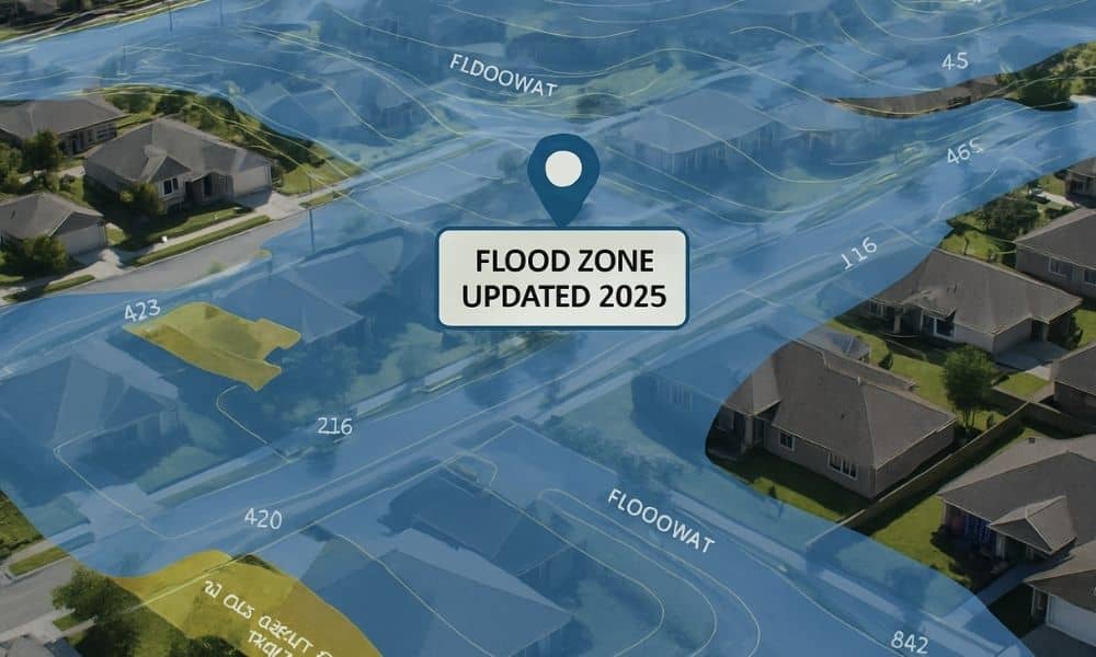
Flood maps rarely make headlines. Yet the newest FEMA updates across Mississippi are causing homeowners and buyers to take a closer look at their flood risk. As the new maps roll out, many people are learning that their properties now fall in a different flood zone than before. Because of this shift, more residents are […]