How Drone Land Surveying Speeds Up Property Mapping
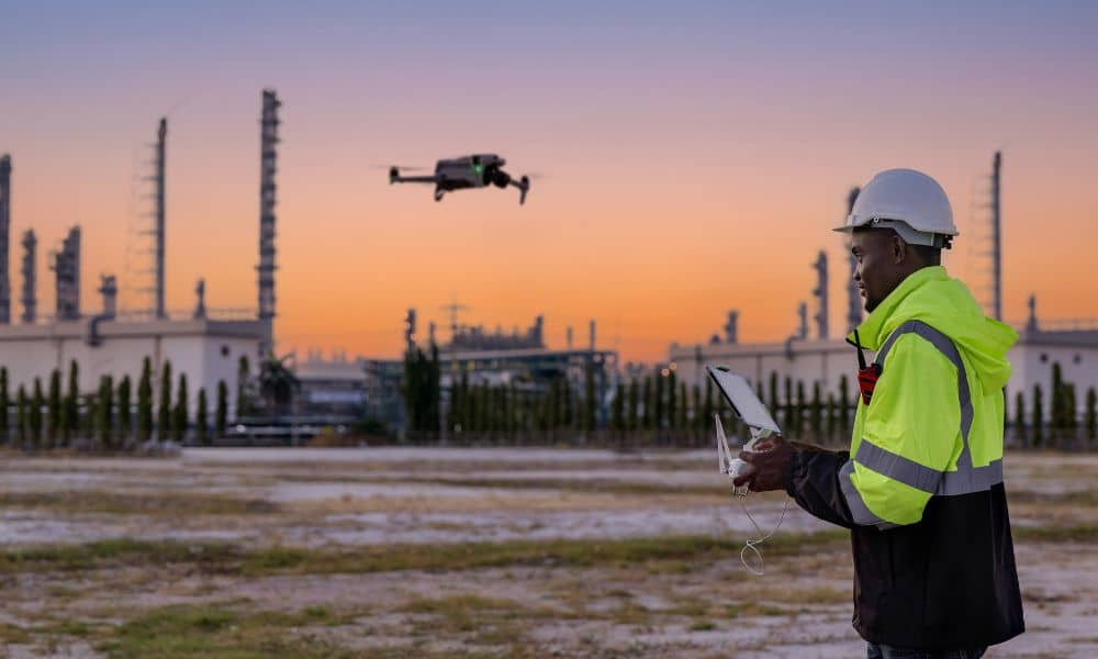
Land surveying plays an important role in property development and construction. It also helps define land ownership. Surveyors measure land so people know where boundaries and features are located. In the past, this work took a long time. Survey crews walked across large areas of land. They measured points one by one and recorded the […]