Using LiDAR Mapping Data Without Costly Mistakes
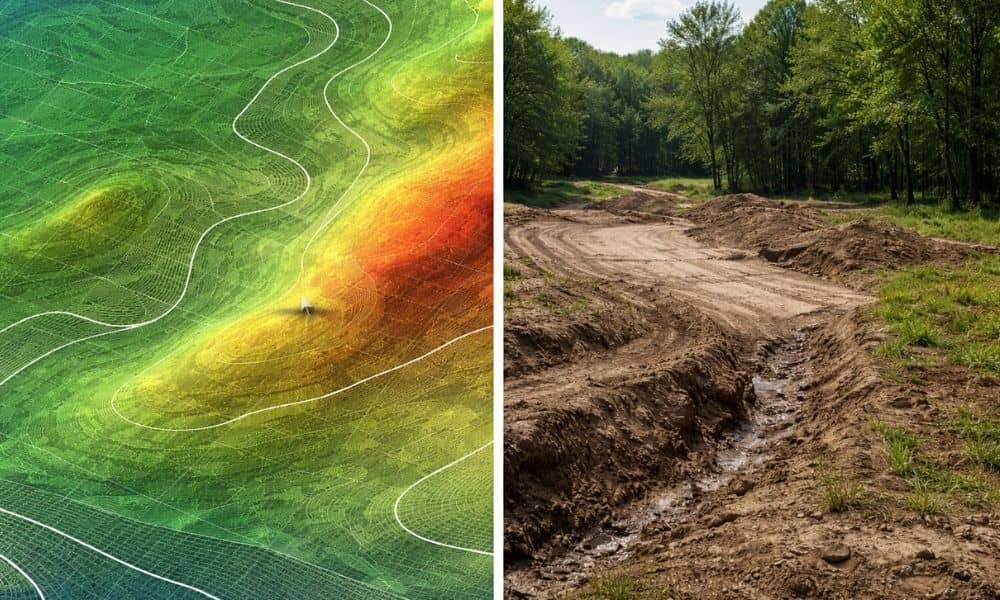
Public LiDAR mapping data is easy to find. A few clicks, and you can see elevation, slopes, and contours for land in Tupelo. Most people come across lidar mapping data for land this way, and it feels like enough to start planning. It helps at first. You get a quick view of the property, and […]