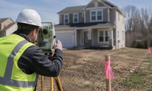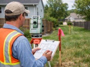
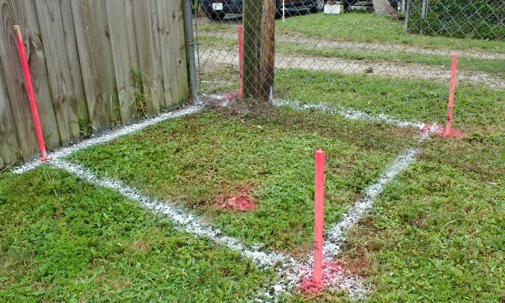
Most property owners don’t think about boundaries until a project is already on the table. You might be planning a fence, a garage, or a new driveway. Maybe you’re clearing land or changing how you use your yard. At some point, the same question comes up: Do I really need a boundary line survey?
The honest answer is simple: sometimes yes, sometimes no. The challenge is knowing the difference before you build, dig, or pour concrete. Once something is in the ground, fixing a boundary mistake can cost far more than getting clarity upfront.
What “Required” Really Means in Real Life
When people hear the word “required,” they often think it means a strict legal rule. In reality, property decisions don’t always work that way. A boundary line survey may not be required by law for every project. However, it may still be necessary to protect you from disputes, delays, or expensive fixes later.
There’s an important difference between legally required and practically necessary. Once you change land or build something permanent, responsibility shifts to you. At that point, guessing where the property line sits becomes a risk rather than a shortcut.
Situations Where a Boundary Line Survey Is Typically Required
Some situations consistently call for a boundary line survey because accuracy matters.
Permanent structures are one of the biggest reasons. Additions, garages, workshops, and retaining walls lock a location in place. If even a small part crosses a property line, you may be forced to remove or redesign it later. A boundary line survey confirms where you can build with confidence.
Fences and walls are another common trigger. Many owners assume the old fence shows the true line. In reality, fences shift over time. Posts get replaced, corners move, and straight lines drift. When you install or replace a fence near an edge, a boundary line survey helps ensure it goes in the right place.
New access areas also raise concerns. Driveways, shared entrances, and access paths often sit close to boundaries. Even a minor shift can affect who controls access or bears responsibility. A survey removes uncertainty before it turns into a conflict.
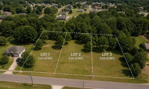
Property divisions create similar issues. Family land splits or informal lot changes may seem simple, yet they often lead to long-term confusion. A boundary line survey turns assumptions into documented facts that hold up over time.
Situations Where a Boundary Line Survey Is Usually Not Required
Not every project needs a boundary line survey. Interior renovations, such as painting or remodeling, don’t affect boundaries. These changes stay well inside the structure and don’t touch the land itself.
Temporary or movable features also carry less risk. Landscaping projects that stay far from property edges often fall into this category. If you’re improving areas clearly within your lot, a survey may not be necessary.
Still, “not required” doesn’t mean “never useful.” It simply means the chance of boundary-related problems is lower.
Common Assumptions That Lead to Boundary Problems

Many boundary issues begin with assumptions that feel reasonable. Unfortunately, these ideas often fail over time.
Some owners assume property corners are still easy to find. In truth, markers can get buried, damaged, or moved. Others trust visible features like fences or tree lines. These features rarely match the legal boundary.
Another common belief is that long-term use equals ownership. Using land for years does not automatically make it yours. Small shifts also get ignored because they seem harmless. Yet inches can matter when ownership or improvements are questioned later.
A boundary line survey replaces these assumptions with clarity.
How Property Changes Increase the Need for a Boundary Line Survey
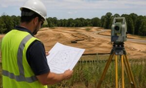
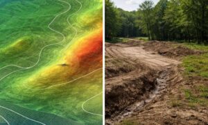
Land changes over time. Clearing, grading, erosion, and tree removal all affect how a property looks and functions. Driveways move. Drainage patterns shift. These changes add uncertainty, even on lots that once felt clear.
As conditions change, older information becomes less reliable. A boundary line survey helps align current conditions with legal records so decisions are based on facts, not guesses.
A Simple Way to Decide If You Should Order One
If you’re unsure, ask yourself a few questions. Is the project permanent? Is it close to a property edge? Has the land changed since it was last surveyed? Would you feel comfortable defending the location years from now?
If you hesitate on any of these, a boundary line survey is a smart step. It reduces risk and provides peace of mind.
What a Boundary Line Survey Helps You Avoid
The purpose of a boundary line survey isn’t to slow projects down. Instead, it helps prevent problems. Clear boundaries reduce the chance of disputes, delays, and redesign costs. They protect usable land and help projects move forward smoothly.
Final Thoughts
A boundary line survey gives you certainty before you build. Knowing exactly where your property begins and ends allows you to plan with confidence and avoid expensive corrections later.
When a project touches the edge of your land, clarity is almost always worth the investment.