Why a Due Diligence Survey Matters for Development Projects

Mississippi continues to attract new development. Across the state, investors look for land for factories, warehouses, tech sites, and new business spaces. As a result, communities often hear about these projects once companies announce them. But the real work starts much earlier. Before developers commit to a project, they spend months studying possible sites. They […]
How Drone Land Surveying Speeds Up Property Mapping

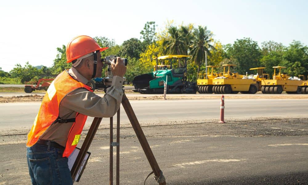
Land surveying plays an important role in property development and construction. It also helps define land ownership. Surveyors measure land so people know where boundaries and features are located. In the past, this work took a long time. Survey crews walked across large areas of land. They measured points one by one and recorded the […]
Avoid Costly Land Disputes with an ALTA Survey
This week, headlines spread fast about landowners pushing back against government survey work tied to a new highway project. Property lines came into question. Access rights caused tension. Compensation sparked public protests. Although that story happened overseas, the root issue feels familiar. Land disputes almost always start the same way: someone assumed the boundaries were […]