Buying property should feel exciting, not stressful. Yet many Tupelo buyers run into the same problem during closing: waiting on paperwork. One of the biggest reasons for the delay is the alta land title survey, a detailed survey that lenders need before they sign off on your loan. The survey itself is important—but the process behind approvals often slows things down.
Now, imagine this: What if Tupelo could cut those delays almost in half?
That’s exactly what happened recently in Fiji. Their government launched a fully digital plan-submission system, and survey approvals became faster overnight. It didn’t just make headlines—it showed what’s possible when old systems finally go modern.
And honestly, Tupelo could learn from it.
Fiji’s Big Move: Faster Approvals Through a Digital System
Fiji’s new “e-Plan Lodgement System” allows surveyors to upload plans online, pay fees instantly, and track progress in real time. This update replaced piles of paper, long processing lines, and slow back-and-forth emails.
Most importantly, the country reported up to 45% faster survey approvals.
That kind of improvement changes everything—projects move sooner, lenders finish quicker, and buyers don’t feel stuck waiting for updates.
Even though Fiji is small compared to the U.S., the idea behind the system is huge: less paper, more digital tools, and fewer bottlenecks.
Why Buyers Feel the Slowdown Today
Tupelo is growing fast. New builds, commercial deals, and property sales happen all year. Because of that, lenders rely heavily on ALTA Land Title Surveys to confirm boundaries, easements, access points, and site details before money changes hands.
The work surveyors do isn’t usually the problem. The process around the survey is what slows things down. Here’s why:
- Survey files get emailed, forwarded, and re-sent multiple times
- Some approvals still require printed documents
- Corrections can take days because reviewers and surveyors aren’t on the same schedule
- Payment for review fees sometimes needs manual processing
- Buyers, lenders, and attorneys often have no idea where the survey stands
All of this results in extra stress right before closing. Even a simple correction can push a closing back a week or more.
When you combine that with rate-lock expiration fears or tight moving dates, the pressure gets real fast.
What If Tupelo Had a Digital System Like Fiji?
Let’s imagine how your closing would look if Tupelo used a modern digital platform for ALTA surveys.
1. Everything Starts Online.
Your surveyor uploads the ALTA survey right into a secure system. No printing, no email chains, no searching through threads.
2. The System Routes the Files Automatically.
Instead of a reviewer waiting to receive an email, the system sends the file to the right person instantly. Everyone starts sooner.
3. You Get Real-Time Updates
You, your lender, and your attorney could log in and see:
- Submitted
- In review
- Needs correction
- Approved
No guessing. No constant calling. No stress.
4. Payments Happen Immediately
Right now, payments for survey reviews or city fees may take a while. A digital portal would process them online, just like paying a utility bill.
5. Corrections Could Be Lightning Fast
Reviewers can mark issues directly on the digital file. Surveyors fix the file. They upload the revised version. Done.
What normally takes 3–4 days might take 3–4 hours with a digital system.
6. Closing Dates Stay On Track
With faster review cycles, buyers and lenders stay ahead. Deals don’t get pushed. Contracts don’t get extended. Everyone feels clear and confident.
A Real Example: Closing With vs. Without Digitization
Without a Digital System. You’re under contract. You’re waiting for your ALTA survey. The surveyor finishes it on time, but:
- The reviewer has a backlog
- The file sits in someone’s inbox
- A small correction takes days
- Your lender can’t clear the final loan
- Closing gets pushed to next week
- Your moving truck sits on standby
Even though the survey was done, the approvals weren’t.
With a Fiji-Style Digital Workflow
You’re under contract. Your surveyor submits the ALTA through the online portal. The city or county reviewer gets it instantly.
They review it, mark corrections on the screen, and your surveyor fixes them right away. You, your lender, and your attorney watch the progress in real time.
Everything stays on schedule. You close on time.
Tupelo Already Has the Building Blocks
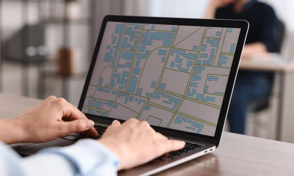
Tupelo and Lee County both use online property tools and GIS maps. That means the foundation for a faster digital workflow already exists. What’s missing is a single portal to handle:
- Plan submissions
- ALTA uploads
- Payments
- Reviewer comments
- Status updates
Adding this platform would not only help buyers—it would help surveyors, lenders, developers, real estate agents, and attorneys. Everyone wins.
Why This Matters for Your ALTA Land Title Survey
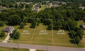
An ALTA Land Title Survey is one of the most important documents in a property closing, especially for commercial deals. It protects buyers, lenders, and title companies by confirming:
- Boundary lines
- Access rights
- Encroachments
- Easements
- Improvements
When this survey gets stuck in approval loops, the entire deal slows down. Faster handling of ALTA surveys means smoother closings and fewer surprises. A digital system helps your survey do its job faster, not differently.
How Buyers Can Stay Ahead Right Now
While Tupelo works toward modernization, you can still keep your closing on track. Here’s what helps:
Order the ALTA survey early. As soon as you go under contract, tell your lender and attorney you want it started right away.
Share your title documents quickly. Your surveyor needs these to complete the ALTA survey accurately.
Stay in touch. Check in with your surveyor, lender, and attorney weekly until the file clears.
Add buffer time. Even a small mistake in paperwork can create delays. A few extra days in the contract protects you.
These simple steps don’t replace a digital system, but they do reduce risks.
A Faster Future Is Possible for Tupelo Closings
Fiji proved that a digital system can speed up survey approvals more than anyone expected. Tupelo has the tools to take a similar step. If it does, buyers will close sooner, lenders will work smoother, and surveyors will handle files with fewer delays.
Until then, starting your ALTA Land Title Survey early is the smartest way to protect your closing date.
If you’re buying property soon, prepare early, stay organized, and work with a surveyor who understands local workflow. It makes all the difference when closing day arrives.