How Drone Land Surveying Speeds Up Property Mapping
Land surveying plays an important role in property development and construction. It also helps define land ownership. Surveyors measure land so people know where boundaries and features are located. In the past, this work took a long time. Survey crews walked across large areas of land. They measured points one by one and recorded the […]
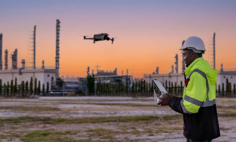
Drone Surveyor Routine to Prevent GPS Drift

If you hire a drone surveyor, you expect clean maps, solid contours, and coordinates you can trust. Most days, you get exactly that. However, some days feel strange. Your map lines up in one corner, then drifts in another. Your elevations look “almost right,” but not right enough. In those moments, the satellites don’t fail […]